Sunday, January 29, 2006
Oconee river escape.....
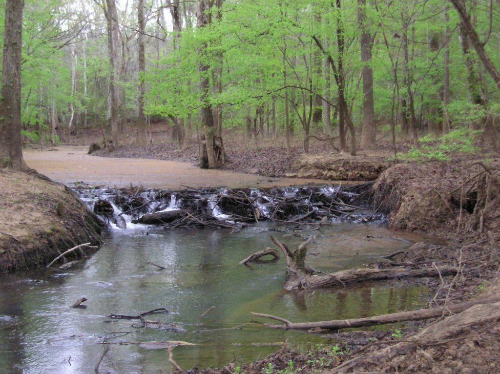
Yesterday, a friend, George, and I paddled an 18 mile stretch of the Oconee river. Our trip started at the Lauren's County Sportsman's Club (Fish Trap Cut) and ended at Berry Hill Bluff (Pete Davis Lake), a part of the Oconee river canoe trail. The river was up nicely and the current was strong, helping us make good time. One of our goals had been to look for some river rock for use in flintknapping (this area was inhabited by indians and stone artifacts have been found along the river). But with the river being full, we had almost no opportunity to get out on sandbars. About 2/3 of the way thru, there are several rock faces on the river banks and we were able to locate some sandstone for abrading.
The weather was spectacular for a kayaking trip. Just cool enough to wear a light jacket, without becoming overheated. Skies blue and crisp (a big change from working indoors for the past week). There was a strong wind, a head wind, that we always seem to find when on the Oconee. Trees on the banks are gray and empty now, only the moss swaying on the breeze. The ocassional pine or magnolia tree providing a green hue to the scenery. This area of our river is very scenic, as seen in the above photo. This picture was taken off the Oconee river in Rock Springs creek (surely a spring time pic).
I needed to get outside this weekend and the Oconee river is a great way to do it. The river is different each trip we take. This trip I was really aware of the river views we had. I mean, when the river is running low, you can't see very far ahead of you around a bend (you have to get around the sandbars to see). Today, with the river high, there were No sandbars, and we could see alot more of the river at any one time. The river felt large and powerful to me. At two locations, the river twists very tightly back onto itself. Here, at higher water, the is a "cut-thru" over to the next section of river. We took these shortcuts each time (they offer a unique diversion from the paddling rythmn of a long trip).
This run took right at 4 hours, though considerably more time to recover from. At the end of the course is Berry Hill Bluff, a 100 foot rock bluff, rising straight from a cypress lake (Pete Davis lake). As we rounded the last bend before the bluff, I could not help being impressed by the towering landscape looking down upon the ancient watercourse.
Of local interest, the tomb of Georgia Governor George Troup lies with in a couple of miles of this area. I will include driving directions below for these boat ramps and landmarks. If you are in middle Georgia and are looking for an outdoor afternoon to remember, please look into an Oconee river trip. I have never been let down by Georgia's waterways. Thanks for paddling today, please come back again for another look.
Jeff Barwick
Please take a moment and drop by Bluewater Jerky and check it out.
Directions:
To locate the Sportsman's Club, take Ga. hwy. 19 south out of Dublin a few miles, there will be a sign on the left for the club. (Note, this boat ramp is a members only ramp).
To locate the take out point (Berry Hill Bluff) from Dublin, head east on Interstate 16, crossing the Oconee river, and leave the interstate at the exit for Ga. Hwy. 199. Follow hwy. 199 approx. 15 miles to the town of Lothair. Turn right at the church, onto Ga. Hwy 199 spur. At the end of the pavement turn right onto Dead River Rd. and follow to the water (this boat ramp is courtesy of the state of Georgia and Treutlen County (there is a primitive camping area at this location.

One of several rock bluffs on this river section.
# posted by jeff barwick @ 10:27 AM 
![]()
